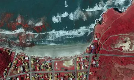
Infrared
Our sensors can produce infrared (CIR) or false color recordings. These are specifically intended to assess and analyze nature and vegetation differences. The capture of IR images and Aerial photography is made simultaneously and can be combined during processing. Using the correct software, the results offer valuable information and can be used for mapping the specific goals.