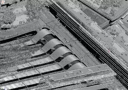
Laser Scanning (LiDAR)
Many applications use this type of data, such as the survey of hydrographic basins, flood mapping, surveying power lines and monitoring of coastal erosion. This technology is becoming an interesting choice for large area surveys, to rapidly provide DTMs and DEMs. Datasets can also be processed to provide contour models, TINs, forestry resource maps and general outline mapping when used in combination with aerial imagery.
SFS’s LiDAR is an integrated system with high resolution photo camera and accurate GPS/IMU systems.