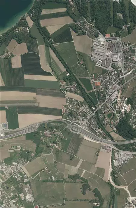
Photogrammetry & Orthophoto
Aerial imagery applications concern several users such as online services and web directories that utilize the imagery as a navigation backdrop, engineering companies that use high resolution imagery for asset management and route planning, governmental territories management organization, to name a few.
Our engineers, crews, aircraft and sensors meet the most demanding requirements regarding accuracy, altitude, resolution and deliverables, enabling a good and reliable services.
Our sensors and aircraft allow us to execute capture with a GSD range of 1.5 to 50cm.
Our main service is to plan, execute, capture and deliver data (from raw to radiometry level, with or without processed GPS/IMU data).
When requested by customers, we are able to deliver processed data (Orthophotos, AT, Stereo…), thanks to our highly qualified and experienced partners.